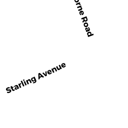
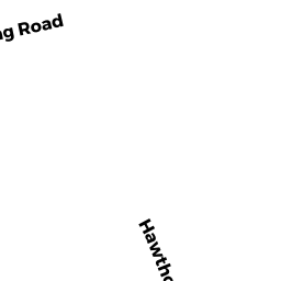
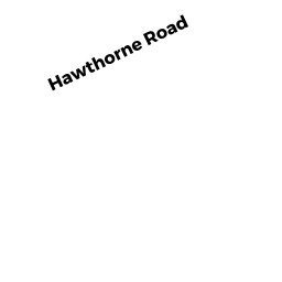
9 HAWTHORNE RD
Owner Information
SWANSON HERBERT E & LINDA M
9 HAWTHORNE RD
KINGSTON, MA 02364


Property Details
9 HAWTHORNE RD is classified as a Single Family Residential (Raised ranch).
The primary structure on this property was built in 1972. There are 2,432ft2 of built area within this property. There is 1,056ft2 of residential/living space within this property.
9 HAWTHORNE RD is valued at $388,200. The land is valued at $193,600 and the structures are valued at $192,100. There is an additional valuation of $2,500 on this property.
The most recent deed for 9 HAWTHORNE RD is recorded at the local registrar in Book 10125, Page 0029. 9 HAWTHORNE RD was last sold on Friday, January 25, 1991 for $133,000.
Assessment data from fiscal year 2021.
Flood Data
According to the FEMA National Flood Hazard Layer, this property does not appear to be in a flood zone. It may also be in an area not yet reviewed. Nonetheless, confirm this information prior to taking any action.
To view the flood hazards around this property, create a FEMA "Firmette" Map of the area around 9 HAWTHORNE RD.
Broadband Internet Providers
| Provider | Type | Bandwidth (mbps) | |
|---|---|---|---|
| Comcast | Cable | 1000 | 35 |
| Verizon New England Inc. | Fiber | 940 | 880 |
| Viasat Inc | Satellite | 100 | 3 |
| Verizon New England Inc. | DSL | 5 | 0 |
| VSAT Systems, LLC. | Satellite | 2 | 1 |
| HughesNet | Satellite | 25 | 3 |
| GCI Communication Corp. | Satellite | 0 | 0 |
Broadband service provider data from December 2020.
Adjacent Properties
- 3 STARLING AV
Single Family Residential owned by GAUTHIER, RICHARD F & BARBARA A TRUSTEES - 11 HAWTHORNE RD
Single Family Residential owned by CURLEY MICHAEL K & TRACY R - 7 HAWTHORNE RD
Single Family Residential owned by HUDGINS LETCHER A & - 178 WAPPING RD
Mixed Use (Primarily Industrial, some Other) owned by 178 WAPPING ROAD LLC